
PolicyMap
Neighborhood-scale demographic mapping and data analysis platform.
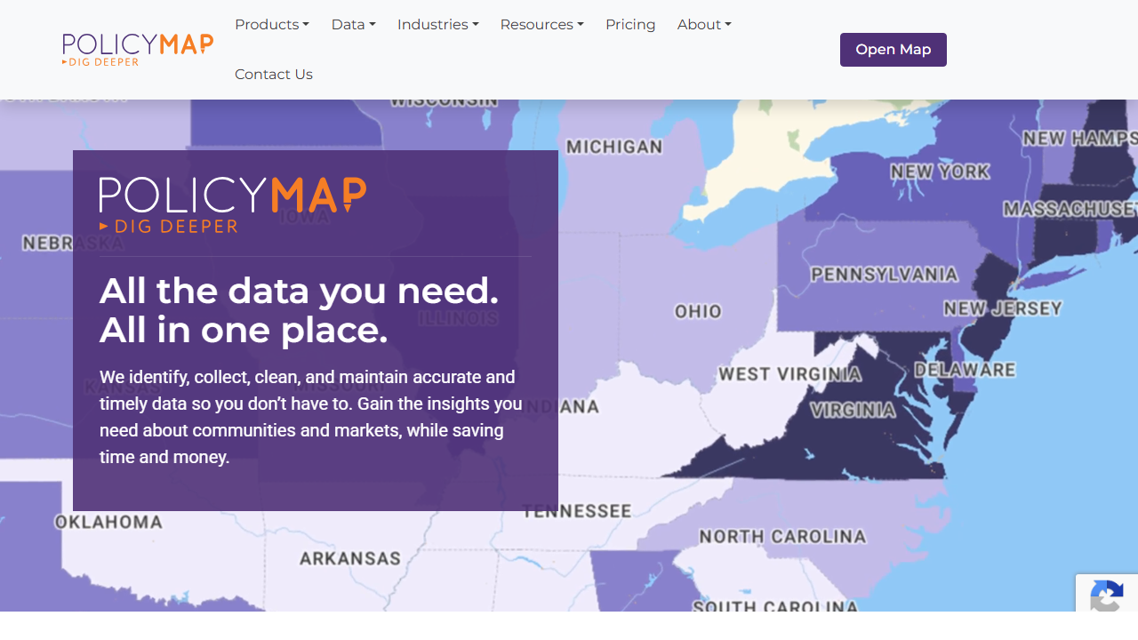
About PolicyMap
PolicyMap provides access to hundreds of publicly available datasets organized at the neighborhood, census tract, and block group level. The platform enables users to create custom maps, compare geographic areas, and export data for analysis and reporting. While originally designed for public health, urban planning, and nonprofit research, the platform's demographic and socioeconomic indicators can support real estate investment analysis, market research, and property-level decision-making.
Features
- Interactive mapping interface
- Hundreds of demographic datasets
- Custom map creation and visualization
- Geographic area comparison tools
- Data export and reporting
- Neighborhood-scale indicators
Use Cases
Urban planning and community development research
Public health analysis and program planning
Nonprofit organization grant writing and impact assessment
Real estate market research and investment analysis
Academic research on demographic and socioeconomic trends
Government policy analysis and decision support
Pricing
Mapping Platform
Contact sales
cloud-based; annual subscription for individual, team, or enterprise
Bulk Data Delivery
Contact sales
via flat file, API, or Snowflake
Embedded Maps
Contact sales
add our maps and data to your website
Partner Portal
Contact sales
provide access for your partners or members
Curated Collections of Data
Contact sales
Social Determinants of Health, Clean Energy
Insights & Client Solutions
Contact sales
consulting and custom development
Source: Pricing page (Contact sales)
Frequently Asked Questions
What type of data does PolicyMap provide?
PolicyMap provides hundreds of publicly available datasets including demographic, socioeconomic, and health indicators at the neighborhood, census tract, and block group level.
Can I export data from PolicyMap for my own analysis?
Yes, PolicyMap includes data export and reporting capabilities that allow users to export data for further analysis and reporting purposes.
What geographic scales are available in PolicyMap?
PolicyMap provides data organized at multiple geographic scales including neighborhood-scale, census tract, and block group levels for detailed local analysis.
Additional Details
Platforms
- Web
Reviews
No reviews yet. Be the first to share your experience!
Last updated: Apr 19, 2026